
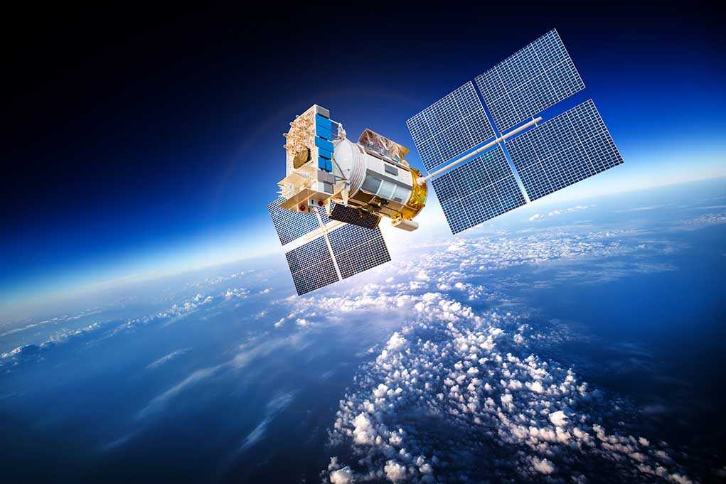
A major U.S. satellite company has quietly shut off most real-time views of the Iran war zone after a request from President Trump’s administration, raising big questions about security, transparency, and who controls the truth in modern war.
Story Snapshot
- Planet Labs is withholding high-resolution satellite images of Iran and nearby conflict areas after a U.S. government request tied to the Iran war.
- The blackout is retroactive to early March and covers much of the Middle East, with images now released only case by case.
- The stated goal is to stop Iran and other enemies from using commercial imagery to target U.S., Israeli, and allied forces.
- Journalists and watchdogs warn the move makes it harder to check official claims, track civilian harm, and fight propaganda.
White House Request Triggers Satellite Blackout Over Iran War Zone
Planet Labs, a California satellite imaging company that photographs the Earth every day, told clients it will stop publishing most high-resolution images of Iran and key Middle East war zones after a request from President Trump’s administration. The company said U.S. officials asked all satellite providers to “indefinitely withhold” imagery from a broad area of interest tied to the U.S.-Israeli war against Iran, and that the new rules apply to pictures taken since March 9.
The blackout affects images over all of Iran, nearby allied bases, Gulf states, and other active conflict zones where U.S. and Israeli forces are operating. Planet Labs told customers it is moving to a “managed access” system, where new imagery from those areas is delayed and then only released case by case for urgent missions or clear public interest needs. Until the Iran war erupted, Planet was known for fast, open releases that helped media and researchers hold powerful players accountable.
Security Concerns Versus Public’s Right to See the Battlefield
Planet Labs and U.S. officials say the main reason for the blackout is to stop Iran and other hostile actors from using commercial satellite pictures to plan strikes on U.S., Israeli, and allied troops or bases. The company told customers it feared its imagery could be “tactically leveraged by adversarial actors” against North Atlantic Treaty Organization (NATO) partner forces and civilians, and that tighter control was needed while the war is active. Similar limits have been used before in other conflicts when commercial pictures became part of real-time battlefield planning.
Critics, including humanitarian groups and press freedom advocates, warn that cutting off open imagery carries a heavy cost for transparency and truth. They argue that reporters, researchers, and human rights monitors depend on Planet’s pictures to verify government claims and track damage to cities, bases, and civilian areas. When independent eyes in the sky go dark, the public must trust official briefings and carefully chosen photos, and it becomes much harder to spot cover-ups, inflated success stories, or understated civilian harm.
From Short Delays to an Indefinite Withhold Across the Region
At the start of the Iran war in late February, Planet Labs first tried a middle path: it imposed a four-day delay on high-resolution images of the Middle East so pictures would not be available in real time. That delay was later stretched to two weeks and expanded beyond the Gulf states to include all of Iran and U.S.-allied bases, as fighting intensified and customer anger grew. The April announcement went further still, shifting from delay to an open-ended blackout for most users, with access only in rare, approved cases.
Other satellite firms, including Vantor (formerly Maxar), have long kept some sensitive areas off-limits, especially U.S. bases and parts of Ukraine, but Planet had been viewed as more willing to release images of hot spots like Gaza and the Red Sea. Analysts note this pattern has played out before: governments push for tighter controls in wartime, commercial firms narrow access, and a debate erupts over whether this is a necessary safety step or a form of information control. The Trump administration’s request has now made that tension front and center over Iran.
What It Means for Patriots Watching the Iran Conflict From Home
For conservative Americans, this fight over satellite images touches several core values at once: strong national defense, distrust of hostile regimes, and a deep belief that government power must stay within constitutional bounds. On one hand, many patriots will see the blackout as a tough but reasonable step to keep Iran and other enemies from using our own commercial tools against our troops and bases. Keeping targeting data out of Tehran’s hands supports the duty to protect U.S. service members in harm’s way.
On the other hand, there is real concern that once Washington can flip a switch and limit what the public sees from space, that power could be misused. Conservatives who remember years of “fog of war” spin and slanted coverage worry that less independent imagery makes it easier to hide mistakes, deny civilian casualties, or sell risky operations without full scrutiny. The Trump team now owns this decision and must show it is a narrow, temporary safeguard — not a new normal where government pressure quietly shapes what Americans are allowed to see about their wars.
Sources:
independent.co.uk, bbc.com, bloomberg.com, reuters.com, washingtonpost.com, marketplace.org, satnews.com, linkedin.com, reddit.com